Fiji History MuseumTravel to the past.
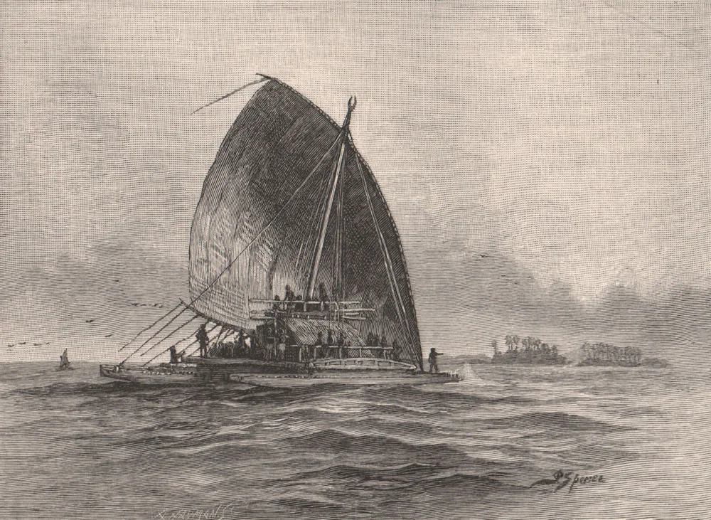
A Fijian double canoe under sail near low islands — 19th-century engraving
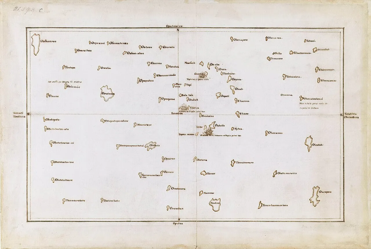
Tupaia's chart of the islands surrounding Tahiti in Oceania (1769)
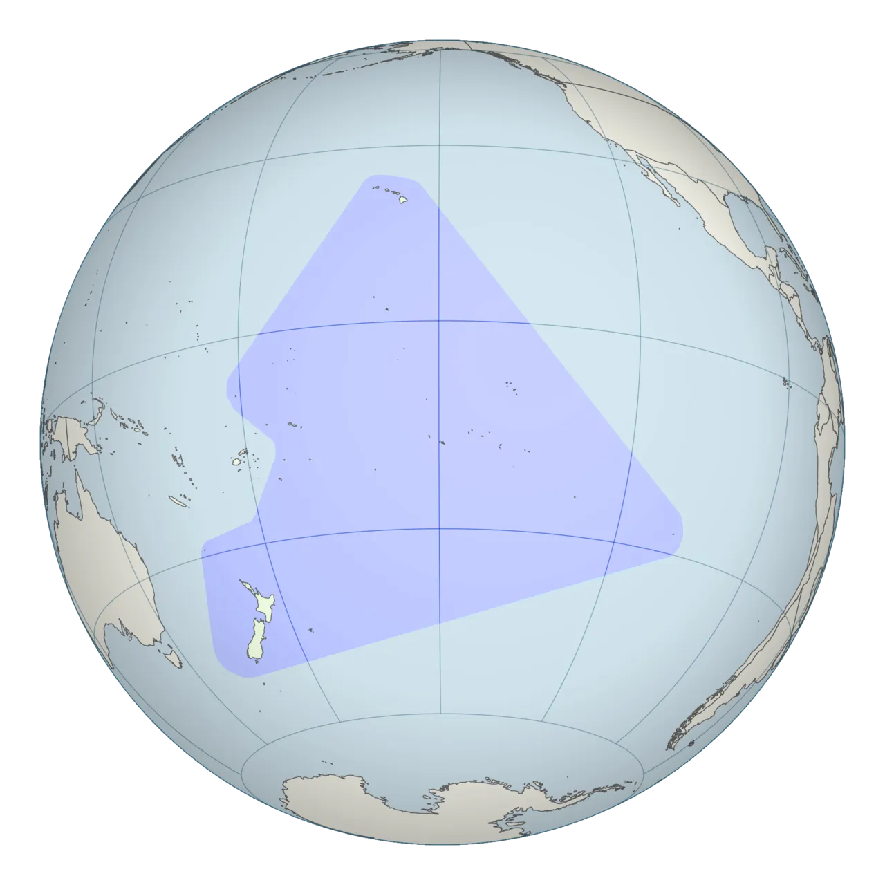
Polynesian triangle stretching from New Zealand in the south to Easter Island in the east and Hawaii in the north. (2010)
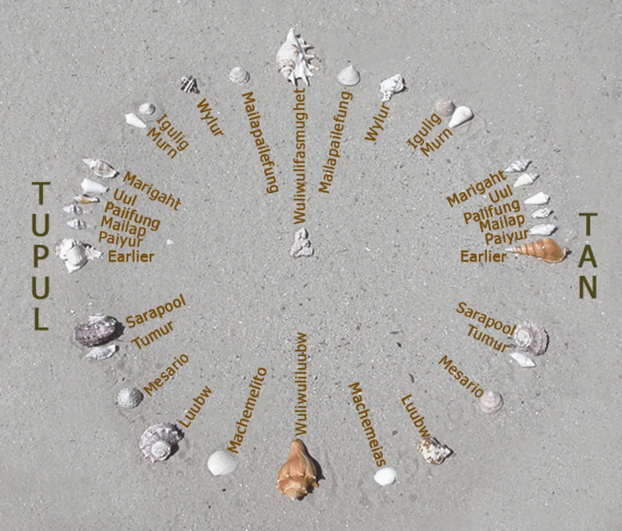
A photograph of a recreation of the star compass of Mau Piailug depicted with shells on sand, with Satawalese (See Trukic languages ) text labels, (2010)
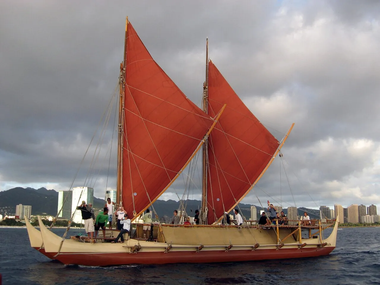
Hōkūle`a, a modern Hawaiian wa'a kaulua or voyaging canoe, sailing off Honolulu, photo taken from onboard the Chinese junk Princess Taiping , January 22, 2009.
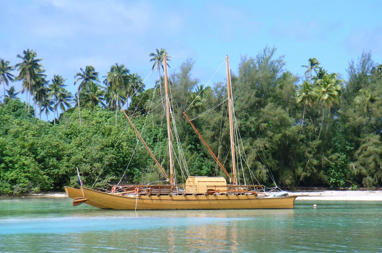
Large traditional double-hulled vaka in Rarotonga. (2010)
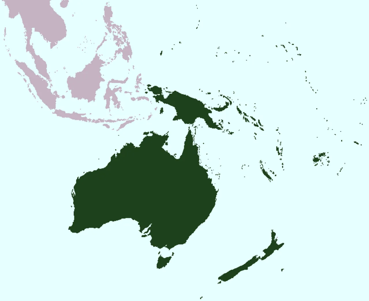
Map of Oceania (2008)
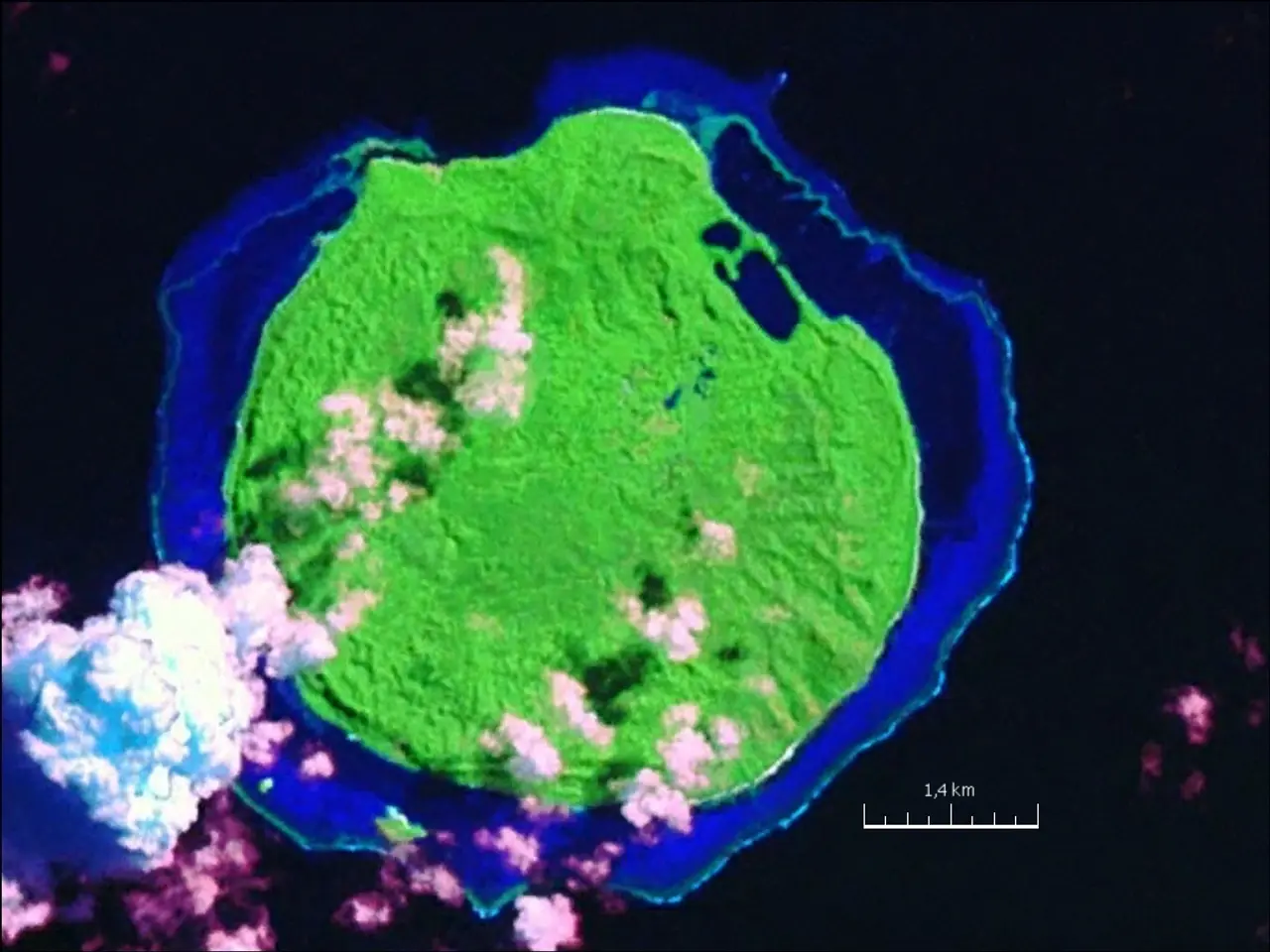
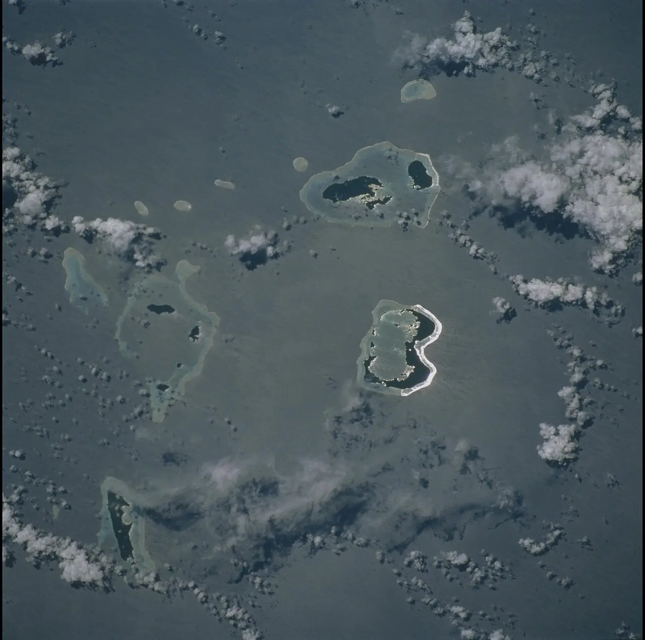
Mago Island, Lau Group, eastern Fiji (2000)
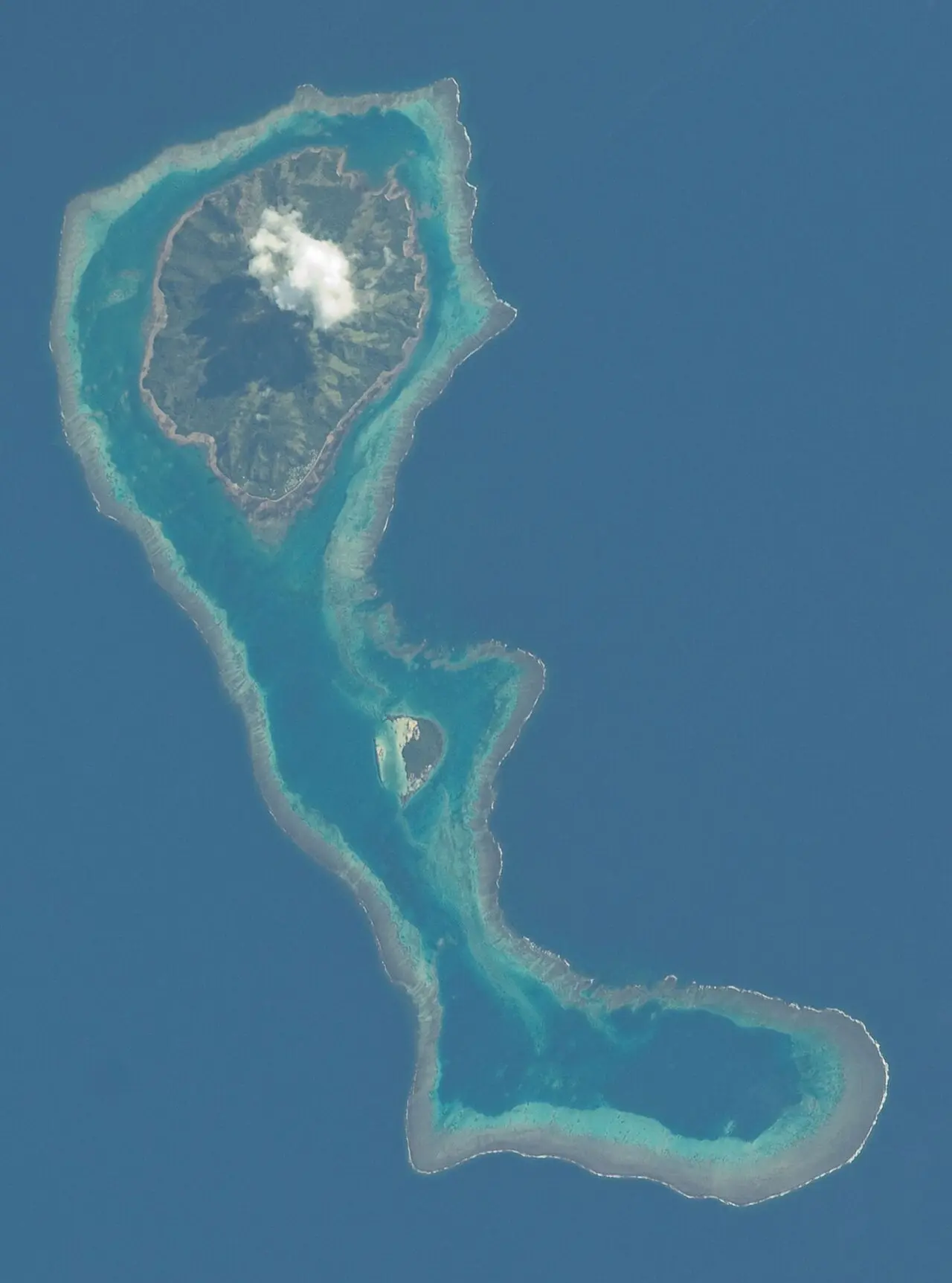
NASA astronaut image of the Yagasa Cluster as part of the Lau Archipelago in Fiji (2001)
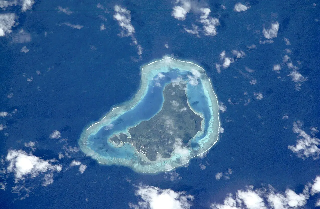
NASA astronaut image of Moce Island with Karoni Islet and Na Potu Reef, Lau Archipelago, Fiji (2011)
Naitaba (Lau-Islands) (1999)
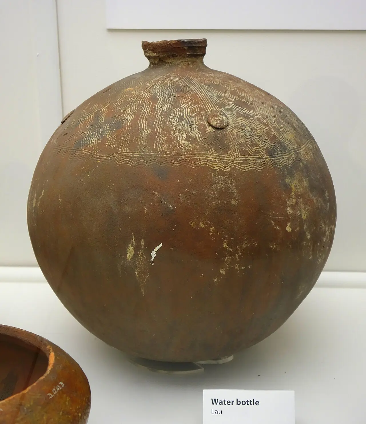
Water bottle, Lau - Otago Museum - Dunedin, NZ (2024)
Centuries of exchange
c. 1000 BCE164317741804Early 1800s12 October 1835185330 April 18541855187110 October 1874By 187514 May 18791916192010 October 1970
Voyagers and canoes · 3 of 45Swipe up

Voyaging between Fiji, Tonga and Samoa

Centuries of exchange

Full chapter page

Travel through Fiji’s past. Look closer. Find the connections.

Begin with the ocean. Across Fiji, water connects communities as well as separating islands. This journey follows voyagers, makers, families and people confronting enormous change. Look for the relationships behind the objects. A canoe is also a workshop, a livelihood and a meeting between islands. Every chapter opens another way into the story.

Sources

This pictureA Fijian double canoe under sail near low islands — 19th-century engraving · Historical image supplied to the museum · source and rights to be confirmed

Chapter text is awaiting cultural and historical review.

Dimau Group